
The City of Savannah has posted the 1916 and 1955 Sanborn Insurance Base maps online. Previously
, some versions of the maps were available through the State of Georgia and the Library of Congress, but with this release there’s a larger collection available online. Savannah.gov has direct links to all versions.We used the Library of Congress versions when researching the History of the Broughton Street House. These maps are detailed, down to the shape of each individual building. The Sanborn Map Company made these maps for insurance companies to determine the hazards of a particular area. From 1884 through 1955, Sanborn regularly updated the maps to keep pace with the growth and changes of Savannah.

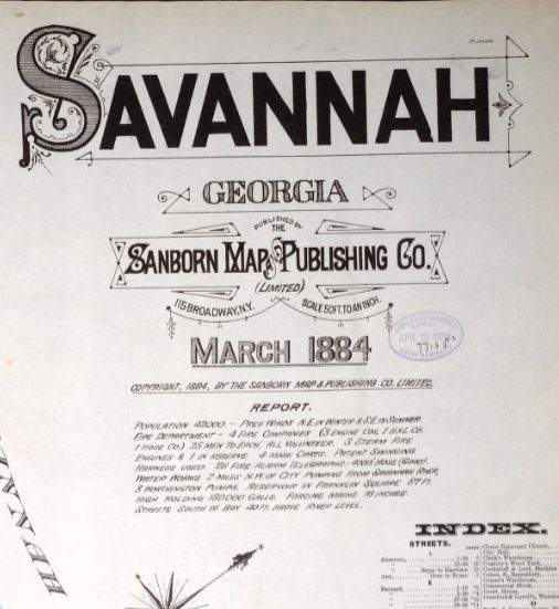
These maps are a real historical treasure that shows the changes to our beloved city at regular intervals. 1884, 1889, 1898, 1916, 1922, and 1955, are all available. Sincere thanks to the City of Savannah for posting the Savannah Sanborn Maps!
Thanks for sharing!